
The Paris metro app is a guide for visiting the beautiful city of Paris. You need to know what is going on to have a good time on your trip. So this app is really important for anyone who is going to this city. This app is a thing to have when you are traveling.
This official platform ensures you’ll never get lost among the iconic stations. It offers everything you need to manage your journeys efficiently and stress-free. Keep reading!

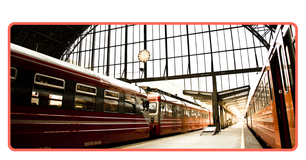
Looking for an updated Paris subway map?
The Paris metro app, officially known as Île-de-France Mobilités, offers the most reliable and up-to-date map of the entire transit system. This thing covers all 16 Metro lines and some other rail networks.
You should figure out how you will get to your destination before you leave your hotel or apartment. This way, you will save time, and you will not get confused when you are in a hurry.
The Metro map allows you to plan your trip and buy tickets on your phone. The Metro map gives you the time you have to wait for the train, so you can avoid waiting for a long time.
Features available in the Île-de-France Mobilités
Exploring the French capital requires logistical precision to avoid delays at its stations. Having reliable digital tools will radically transform your experience. Its features include:
- Access detailed maps of the sixteen train lines connecting the city’s most iconic landmarks.
- View exact timetables and train frequencies updated every minute to better manage your travel time.
- Receive immediate notifications about technical issues, scheduled works, or temporary closures on any section of the network.
- Calculate the shortest routes between historical monuments, significantly reducing unnecessary walking or complex transfers.
- Use the offline navigation feature, ideal for saving mobile data while underground.
- Visually identify the nearest exits to museums and parks to emerge directly in front of your destination.
- Securely manage digital ticket purchases, avoiding long lines at physical ticket machines.
- Filter routes based on accessibility criteria, prioritizing stations with elevators or ramps for people with reduced mobility.
Finally, discover complementary transport alternatives that connect to the main rail system. In addition, take advantage of the intuitive interface designed for tourists who don’t speak the local language but are looking for independence.
Step-by-step – How to track trains in real-time using the app
Mastering European underground transport requires high-precision tools that eliminate traveler uncertainty. To achieve efficient, safe, and fully optimized mobility, follow these steps:
1. After you have downloaded the “Île-de-France Mobilités” app from Google Play or the iOS App Store, you must access the main interface.
2. Select the timetable icon.
3. Filter your search by the number or color of the track you need to travel on.
4. Instantly view the complete list of upcoming trains arriving at your current location.
5. Identify the direction of travel.
6. Observe the digital second hand displaying the exact wait time.
7. Check the network’s operational status.
8. Activate proximity alerts.
9. Compare the different suggested transfer options.
Finally, check the passenger flow indicators to choose the car with the most available space. You should also confirm the location of the main entrances and exits. It’s important to save your most frequent routes.
Tips for a safer and faster commute in Paris
If you are using your mobile device at a crowded train station, do so with caution; always look around you. If you need to check your route, take a moment and go off to the side while you do so.
Also, if your schedule allows it, do your best to avoid busy times on public transportation. Train cars will be much less full between 10 AM and 4 PM.
Easily accessible places in Paris via the subway
You can get to a lot of the places in Paris by walking from a metro station. The Louvre and the Eiffel Tower are really easy to get to.
The tool will show you which exit to take when you want to see something. This means you will have time to look at the monuments and less time getting lost.
Taking the metro in Paris is usually faster than taking a taxi because of all the traffic. The metro is also a way to see all the things Paris has to offer.
Master your Paris trip
Using the tools makes it really easy to get around the city. The Paris metro app is a thing to have on your phone because it helps you get where you need to go without any problems.
Download the Paris metro app now. You can start going to all the places you want in Paris without worrying about how to get there. The Paris metro is really what makes Paris fun to visit.
I hope these tips help you have a great time on your next trip to Paris, and that you can use the Paris metro app to make the most of your time there. For other useful travel tools, we invite you to check out the guide on Tripiefly.
Frequently Asked Questions
Is the official Paris Metro app free?▾
Yes, you can download it for free. It’s available on the Google Play Store and the App Store.
Can I use the maps if I don’t have an internet connection?▾
Yes, the app has an offline navigation feature. This allows you to consult detailed maps of the train lines without using your mobile data while underground.
Does the app allow me to buy tickets?▾
Yes, one of its main functions is the secure management and purchase of digital tickets. This helps you avoid long lines at the physical ticket machines in the busiest stations.
How do I know if there are delays on my route right now?▾
The app gives you updates as they happen. The timetables are correct. You will get notifications away if there are technical problems, if work is scheduled, or if any part of the transport network is closed for a short time.