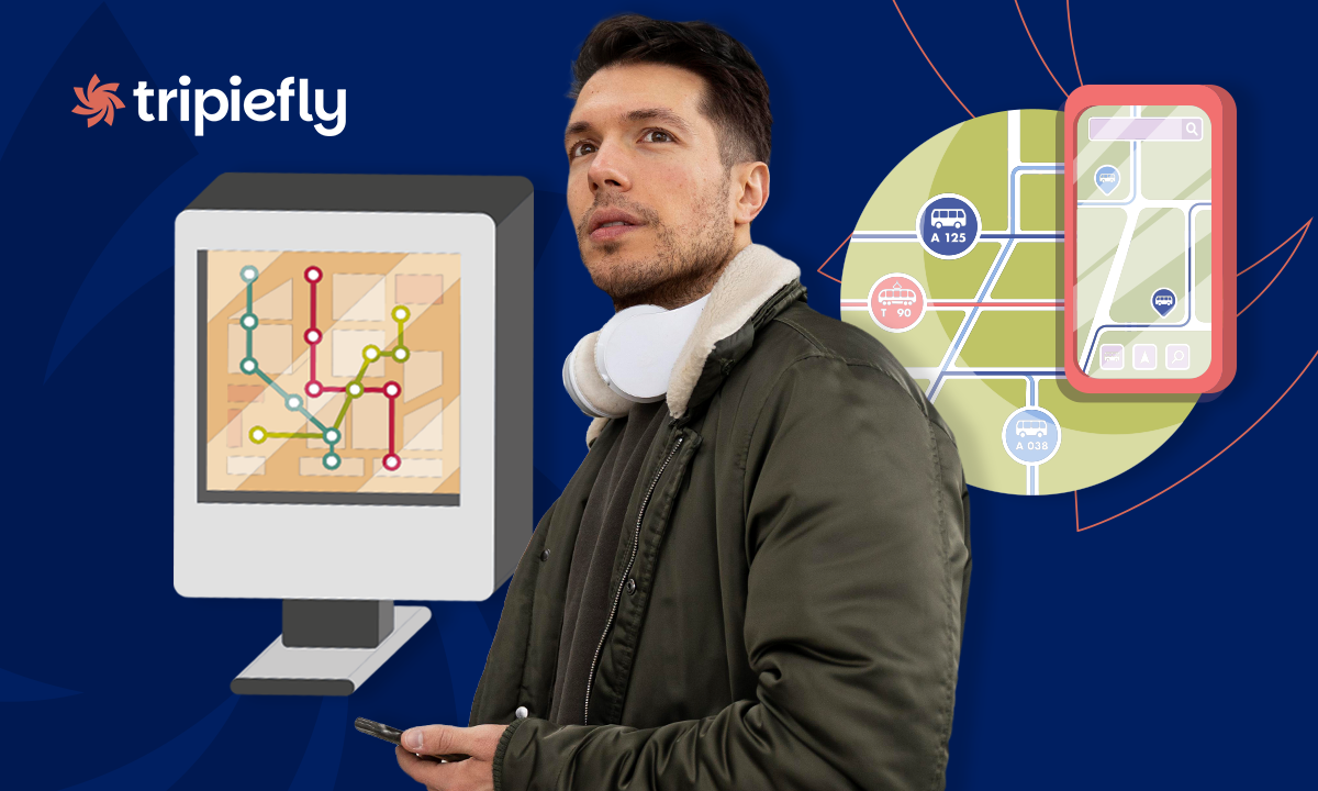
The NYC subway map is an essential tool for getting around New York without wasting time. In such a dynamic city, knowing the subway routes can make the difference between arriving on time and being late.
Today, thanks to mobile apps, you can have an updated map and real-time alerts right in your pocket. If you plan to visit or live in New York, you need more than a traditional map. Apps offer smart features that improve your experience.

Looking for an updated NYC subway map?
Having an updated NYC subway map is key to avoiding confusion in such an extensive network. The New York subway system has more than 470 active stations. This makes it one of the largest in the world.
Nowadays, printed maps are no longer enough. Interruptions, delays, and route changes are frequent. That’s why using an app like Transit is a practical and reliable solution.
You can easily download the app from the official Android store or, if you use an iPhone, it’s also available on the App Store. Additionally, if you want to better understand the routes, discover how to get around with this subway map and tourist guide.
An updated map doesn’t just show stations. It also indicates waiting times, alternative routes, and efficient connections.
Features available in the Transit app
The Transit app offers multiple features that make your trip easier and faster. It’s not just a map, it’s a complete mobility assistant. Among its most useful features are:
- Real-time data: You know exactly when your train or bus will arrive. The app uses constantly updated information to provide accurate estimates.
- Route planning: Find the fastest way to get from point A to point B. Compare different transport options and travel times in seconds.
- Instant alerts: Receive notifications about delays or changes. This allows you to adjust your route before any inconvenience occurs.
- Offline mode: Check maps even without internet. Ideal for use inside the subway, where the signal often fails.
These features help reduce stress during daily commutes. They also optimize your time in a city where every minute counts.
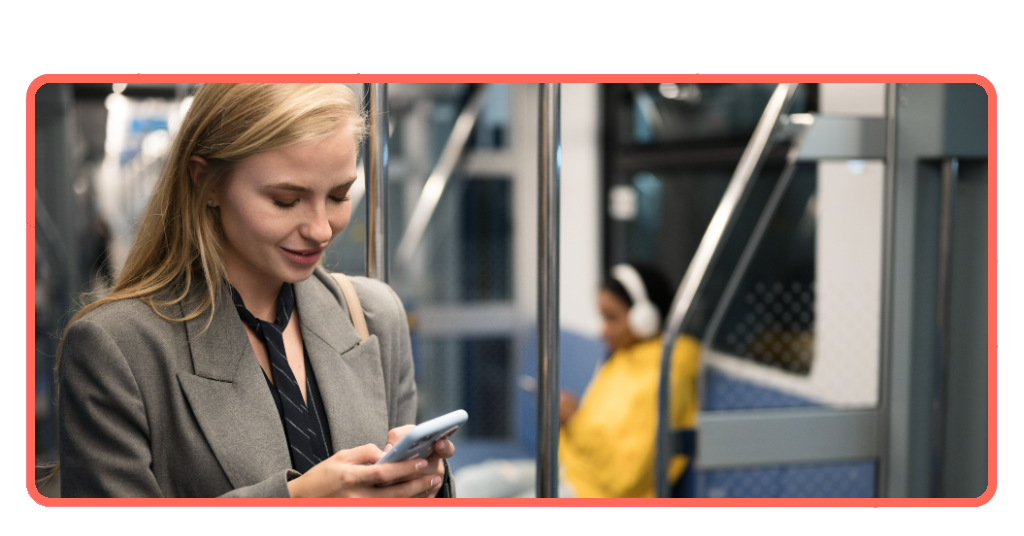
Step-by-step: how to track trains in real-time using the Transit app
Using the NYC subway map within the Transit app is very simple. Below, I explain how to get started from scratch. First, download the app from the official links. Then, install it on your mobile device.
Next, open the app and allow access to your location. This is important to show nearby routes. You don’t need to create an account, but doing so lets you save favorites. Follow these steps to track trains:
- Open the app and select your current location. When launching the app, allow location access so it can detect where you are. This is key to showing nearby stations and real-time routes.
- Search for your destination in the top bar. At the top of the screen, you’ll find a search bar. Type the address, station, or place you want to go.
- Choose the best route suggested by the app. Once you enter your destination, you’ll see several route options. Each includes estimated time, transfers, and transport modes.
- Activate real-time tracking with the GO feature. After selecting a route, turn on GO for step-by-step guidance. The app will notify you when to board, exit, and if there are delays.
Once activated, you’ll receive alerts about when to get on and off the train. You’ll also see possible delays before they happen. This feature is especially useful during rush hours. It helps you avoid unnecessary waiting and optimize your journey.
Tips for a safer and faster commute in New York
Getting around with the help of the app can be easy if you follow some practical tips. Safety and speed depend on your preparation.
New York is a city that operates 24 hours a day. That’s why planning your trips is essential. Avoiding rush hours is one of the smartest decisions. Traveling before 7 a.m. or after 9 a.m. reduces crowds.
It’s also important to know strategic exits. Many stations have multiple access points, and choosing the right one saves time.
Keeping your belongings secure is key in crowded spaces. Use closed backpacks and avoid unnecessary distractions.
Easily accessible places in New York via the subway
The app connects you with the main points of interest in the city. It’s the most affordable and efficient way to explore New York.
Thanks to the subway, you can visit iconic places without spending on taxis. This is ideal for both tourists and residents.
Times Square is one of the best-connected destinations. Several lines pass through this central area, offering constant options.
Central Park is also very accessible. Different stations surround the park, making entry easy from various points. The Brooklyn Bridge is another must-see. You can easily reach it from Manhattan in just a few minutes using the subway.
Domina el NYC subway map y viaja como un local
The NYC subway map is no longer just a static plan. Today, it’s a smart tool that improves your daily mobility. With apps like Transit, you can anticipate any situation.
Adopting these technologies helps you save time, reduce stress, and enjoy the city more. Whether you’re a tourist or a resident, having real-time information makes all the difference.
If you want to keep learning about smart travel and useful tools, we recommend visiting more articles on TripieFly.
There you’ll find more practical guides to optimize your trips. Traveling well-informed always improves the experience.
Frequently Asked Questions
Does the Transit app work without internet?▾
Yes, it includes an offline mode. You can check maps and basic routes without using mobile data. It’s ideal for moving through the subway when there’s no signal in tunnels.
Is the Transit app free to use?▾
The app is free in its basic version. It offers complete features for most users at no cost. Some advanced options may require additional payment within the app.
How accurate is the real-time information?▾
Accuracy is very high in most cases. It uses official data and contributions from active users. This allows reliable real-time estimates throughout the day.
Can I use it in cities other than New York?▾
Yes, it works in more than 1,000 cities worldwide. It’s useful for frequent travelers and tourists. You can use it across different public transportation systems.
Does the NYC subway map in the app update automatically?▾
Yes, it updates constantly with new information. It reflects route changes, delays, and system events. This helps you make informed decisions during every trip.